How do you solve the problem of food deserts? Income levels, education, grocery store locations, mobile markets, and transportation all play a part in the solution.
The USDA defines what’s considered a food desert as a “low-access community”(read lack of transportation) with at least 500 people and/or at least 33 percent of the census tract’s population residing more than one mile from a supermarket or large grocery store (for rural census tracts, the distance is more than 10 miles).
You can view the location of food deserts with the USDA Food Desert Mapping Tool. Here’s a screenshot of Greensboro’s food deserts as last updated and published online.
We’ve been able to lessen the food desert areas with grocery store projects in the last few years including Li Ming Global Mart at High Point Rd/Holden, Save-A-Lot at Yanceyville/Cone, and other grocery stores in the city. The Wal-Mart projects at Cone/29 and S. Elm/I-840 have provided grocery options in prior food deserts as well.
Here’s an aerial map of Greensboro, NC that my company Kotis Properties produced, showing all grocery stores with a 1-mile ring around them. The blue area is what remains of food desert areas outside the ring. It also factors in current USDA food desert data that varies from the online tool above. My market research staff create tools like this to help explain the Greensboro market to grocery stores that we hope to recruit to the area.
You will note that the bulk of the food desert areas are in Northeast Greensboro. It visually demonstrates what people in East Greensboro have been saying for the past few years – that they want and need grocery stores. One of our new projects – at the intersection of Wendover and the Outer Loop (I-840) should help to solve the food desert problem in that area. Additional solutions may be Phillips Avenue or South Elm/Lee. The challenge is convincing grocery stores to locate there as they tend to focus on higher profit and lower risk potential locations (more in a future post).
It’s interesting to note that both UNCG and Bennett College are both considered food deserts. That’s something I plan to explore further.
In the absence of a full blown grocery store, people tend to shop in convenience stores or dollar stores. Those often offer less variety and at a higher cost. However stores like Sheetz have broken the mold with a much broader offering.
There are three solutions to food deserts – transportation (including low cost cars), income level of the residents, and close proximity of groceries.
One novel approach is the idea of bringing groceries to people via a mobile food truck concept. There is a farm food truck concept in Raleigh called LoMo Market. It makes around 40 stops per week in different areas. NC A&T could work on something like this as well given that they have a large University farm.
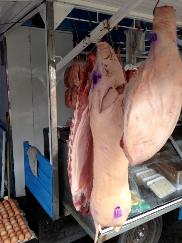
I saw an expanded version of this concept outside of Buenos Aires, Argentina. A caravan of farm trailers were pulled by trucks to various neighborhoods on certain days. The various trailers included produce, meat, fish, and general merchandise. The idea of a mobile grocery store or farmers market is an immediate solution to food deserts.
In the short term, the city should explore measures designed to encourage grocery store development, farmer’s markets and mobile farm trucks in food desert areas. It should also look at the long term solution of educating and empowering people in those areas.


